Monday 2 May 2016

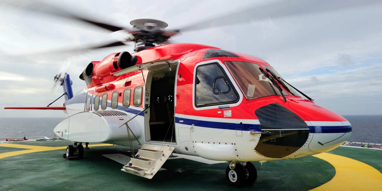
For safe offshore helicopter approaches, it is mandatory, that a decision support system is installed on the platform or ship that complies to the CAP-437, Standards for Offshore Helicopter Landing Areas, 7th Edition. Besides the CAP-437, the requirements of the Helideck Certification Agency (HCA) also describes minimum requirements of Helideck Monitoring Systems.
A Helideck Monitoring System can be used as a decision support system and is designed to measure all weather conditions during helicopter approach, landing and take-off operations, in order to improve both flight and passenger safety.
The HMS can interface with all important weather sensors such as wind speed, wind direction, QFE/QNH Barometric pressure, temperature, humidity, visibility, cloud height and motion. There are many options available for a.o. fixed and floating platforms F(P)SO and diving support vessels.
Offshore meteorological observations require devices designed to withstand the hardest environmental conditions such as heavy vibrations, sea spray and extreme temperatures. Based on over 90 years’ experience, Observator knows as no other the special demands in this particular market.
Most important features a helideck monitoring system:
Weather Forecast
In cooperation with the Dutch company Meteo Group we are able to integrate the weather forecast module within OMC-Data-Online. This module will calculate the forecast for your location anywhere in the world. The program will indicate the forecast for the next five days for all the meteorological and wave information. This weather forecast information can be useful for instance, wind, temperature and wave information around the vessel, platform or windfarm.
Forecast of ship movement
Together with the company ABB group (based in Dalfsen, The Netherlands), we are currently finalizing the integration of Octopus with our HMS. Octopus from ABB can forecast the movement of a ship or floating platform. This data can be used in our HMS. Using this option, a helicopter can determine if it will be safe to land even before leaving base. On the vessel, a captain can alter the ship’s course to minimize the movement of the helideck just before the helicopter arrives, based on the forecast data.
Automatic Terminal Information Service
The Automatic Terminal Information Service, or ATIS, is a continuous broadcast of recorded weather information for unmanned offshore or wind energy platforms. The system broadcast contain essential weather information such as, wind information, temperature, humidity, visibility any other information required by the pilots.
Helicopter Pilots usually listen to an available ATIS broadcast before the final approach, in order to have a safe landing on the platform. By using the VHF radio, the helicopter pilot can request the actual weather information (by automatic voice message) from our HMS installed on an unmanned station.
The system also offers a function to switch on the helideck lights from the helicopter using a standard VHF radio. The voice functionality in the Observator system follows the usual ATIS practice; however this practice is not described in standards and varies from country to country. We can adapt the systems to the customer specific requirements.
On customer request, Observator can supply a 19” cabinet or sub-racks. Also project design, Factory Acceptance Test, Site Acceptance Test, commissioning and service are possible by our own well trained engineers or service engineers with offshore licenses.
In addition to the applications in the offshore and marine markets, the HMS and ATIS can also be applied on buildings with heli ports like hospitals.
In the renewable energy market, the parameter wind is one of the most important sources. In recent years several wind parks are placed in the North Sea. Most of them near coast, but in the future more wind parks will be placed further away from shore. Several international energy companies to supply the complete E-system. They relied on the offshore experience of Observator and placed the order for the complete MetOcean parts to us. The weather system consisted of wind, temperature, humidity, barometric pressure, visibility, present whether and cloud height sensors. A wave radar was required as well and therefore we integrated wave radar into the Met system.
By continuing to use the site, you agree to the use of cookies. more information
The cookie settings on this website are set to "allow cookies" to give you the best browsing experience possible. If you continue to use this website without changing your cookie settings or you click "Accept" below then you are consenting to this.